Central States, Southern
Oklahoma
Oklahoma
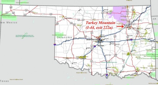
MB. I-44, exit 222A. Park at QuickTrip (QT). Turkey Mountain in Tulsa. 15+ miles of single track. The rocks in this park have character. Some rocks, the sandstones, mimic paved roads with their smooth surfaces. Other sandstones mimic paved roads in downtown Boston (at least the chewed up craters we fought through.) Gigantic rectangular slabs of granite are strewn about other sections of the park. And the ride through is a kick. The ride to get there is not. There is no shoulder on several stretches. Be careful and alert. Head east out of the QT parking lot on 61st for about 2 ½ miles until you get to the water tower on the hill, the park is across the street. Again, be careful; there are blind curves that the driving public refuses to fully comprehend.
Arkansas
West Texas
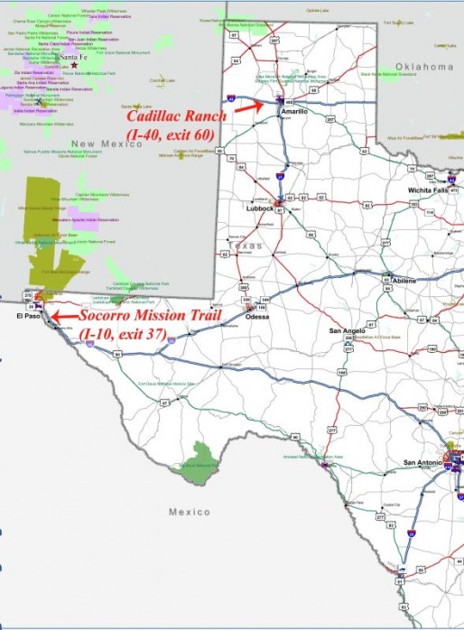
C. I-40, exit 60. Park at Loves. Cadillac Ranch. A long walk (1/4 mile, give or take) or a short bike ride. Bring your spray-cans so you can pay proper homage to this Texan Stonehenge. (In case you’re not a pop-art snob, the work consists of several Cadillacs buried up to their windshields in the middle of a cornfield.) I recommend this highly (no, not that high) for the fantastic photo opportunity alone. The cars are very colorful, fun to vandalize, and will put a stupid grin on your face.
B, C. I-10, exit 37. Park at Petro? (You think I’d learn about taking notes. Anyway there’s a Loves? across the street too.) Socorro Mission Trail. The Socorro Mission, originally built in 1682, and rebuilt (late 1700s?) after the Rio Grande flooded is a fine example of that type of architecture (ha, sounds like an answer to a 7th grade essay question). Anyway, as the name suggests there are other missions to explore too.
B, C. I-10, exit 37. Park at Petro? (You think I’d learn about taking notes. Anyway there’s a Loves? across the street too.) Socorro Mission Trail. The Socorro Mission, originally built in 1682, and rebuilt (late 1700s?) after the Rio Grande flooded is a fine example of that type of architecture (ha, sounds like an answer to a 7th grade essay question). Anyway, as the name suggests there are other missions to explore too.
East Texas
Louisiana
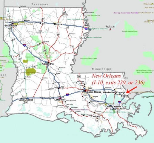
B, C. I-10: exit 239. Park at Big Easy truck stop. (Or at exit 236 Mardis Gras truck stop which I found accidentally before my delivery, but couldn’t find when I wanted to spend the night.) New Orleans. The roads to the French Quarter are mostly tree-lined and flat making the ride pleasant and (big) easy. Don’t get offended by the yellow tinged American flags: they’re not American flags, nor do they represent any sort of political statement. Further description would ruin your aha moment. Katrina aftermath is still obvious in some neighborhoods, but the Big Easy is nowhere near dead in the French Quarter. From Big Easy truck stop take a left out of lot on Gentilly road and follow until it turns into Bayou road and then follow that to Esplanade street which is the eastern boundary of the French Quarter. Under 5 ½ miles to French Quarter.
Mississippi
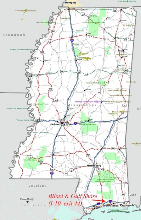
B, C. I-10: exit 44. Park at Loves (formerly Pilot). Biloxi, Mississippi and the Gulf Shores. Beautiful white sandy beaches are home to least terns (birds). These birds remind me of surfers paddling furiously to catch a wave; they similarly flap laboriously against the wind, then turn into it and soar on just the slightest sea-breeze. Mesmerizing. Across the street (literally) is the home of the Confederate President, Jefferson Davis. Historically significant, I’m sure, but it seems a little bland. There is a nice stretch of boardwalk (concrete) for cruising along the beach. The terns only monopolize a small section of beachfront (they’re protected) which leaves plenty of beach for human activity. Oh, and US-90 runs right by the beach, and it is possible to bobtail right to the beachfront. (Another trucker did just that.) So, head left out of truck stop on Cedar Lakes and turn right on Popps Ferry road up and over the draw bridge (cross on the east side to get out of the traffic). Take a left at the light and a right at the next intersection (or just follow the signs to the beach). From Loves to the beach is about six miles.
Alabama
